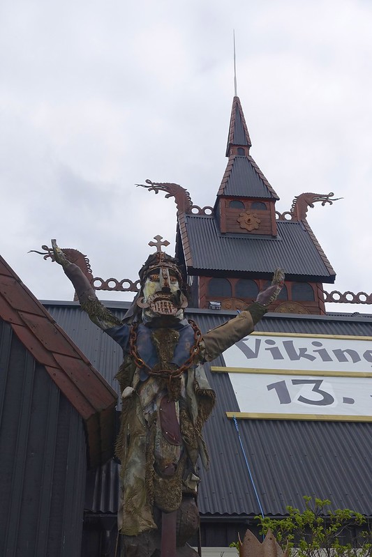
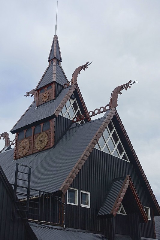
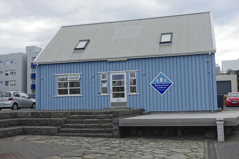
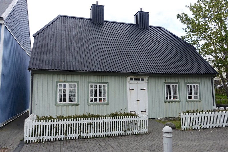
From the Bleu lagoon we continued north towards Reykjavik, but stopped for the night in nearby Hafnarfjordur, which according to the signage is the city of Vikings, Elves, and lava. It apparently has the largest concentration of elves, dwarves, and hidden people on the island! It is set in a 7000-year old lava field and is home to a large Viking festival every summer. That said it is a very picturesque fishing town with brightly colored metal or wood clad houses.

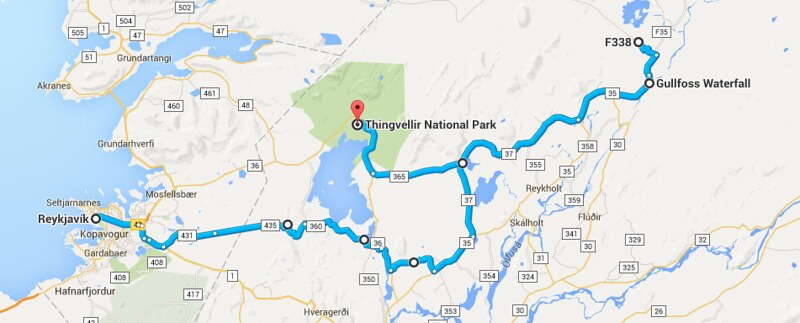
Most visitors to Iceland land in the capital and then only do a tour of the “golden circle” This includes the major attractions in a 300 km loop. They see Thingvellir National Park, the Gullfoss waterfall, and the Geysers as well as a scenic drive.
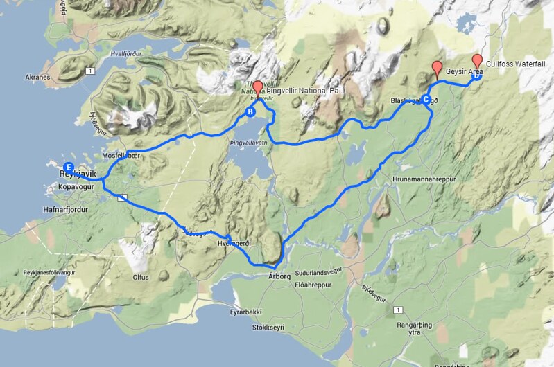
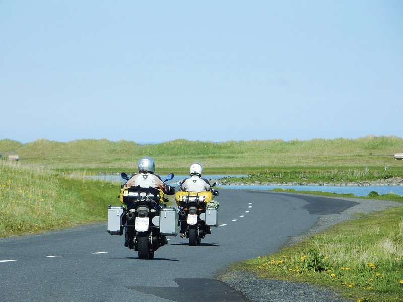
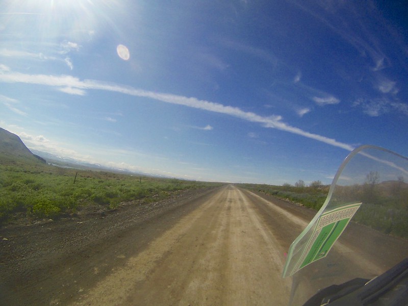
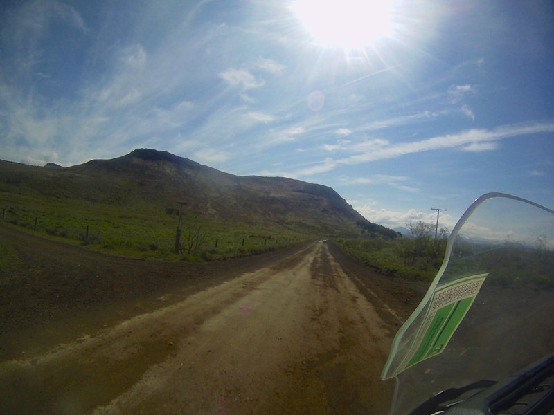
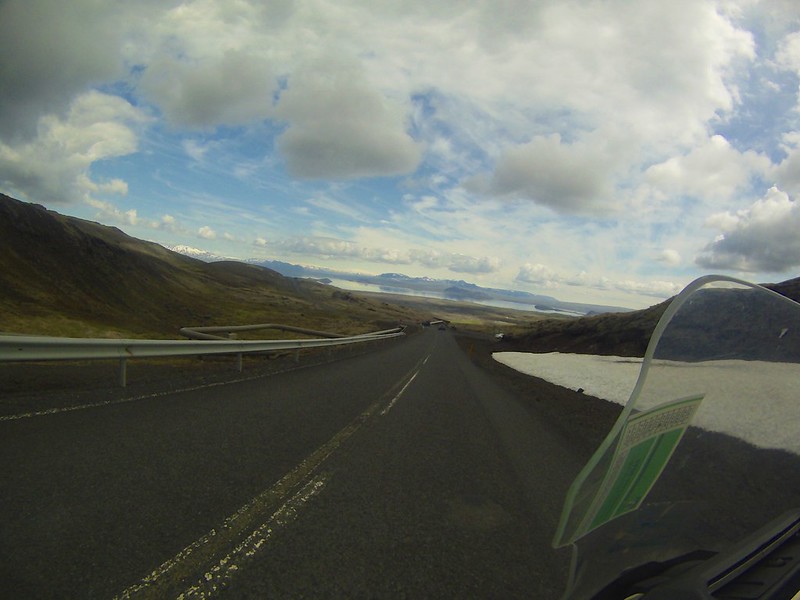
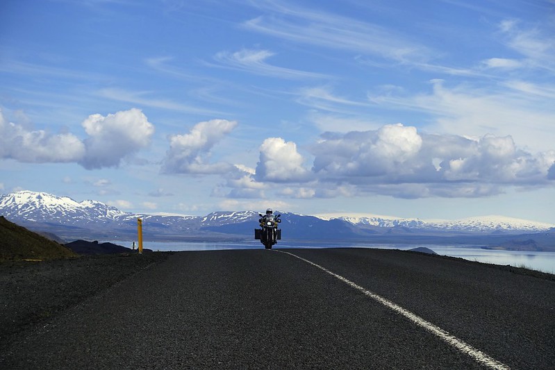
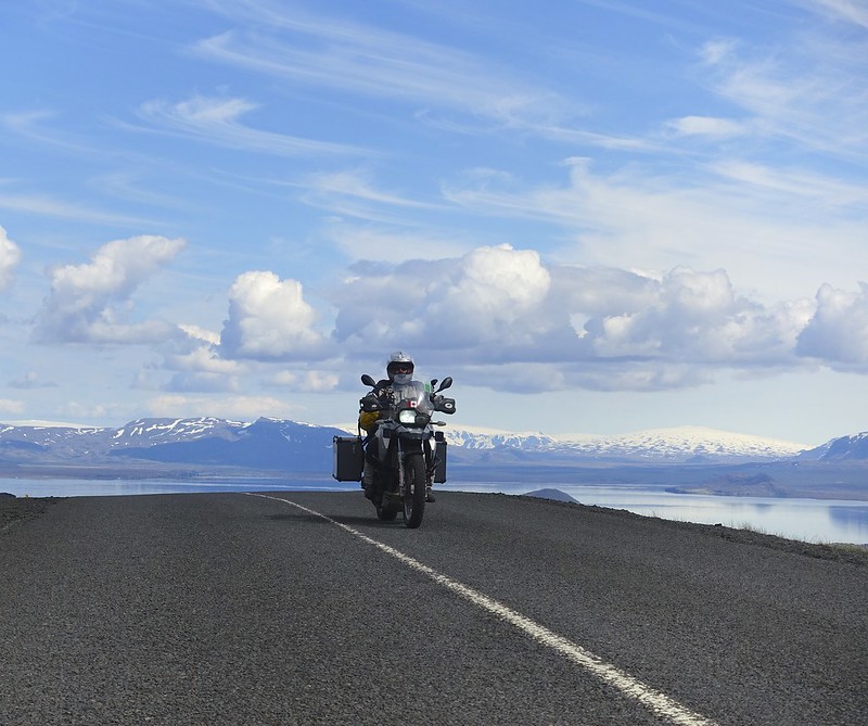
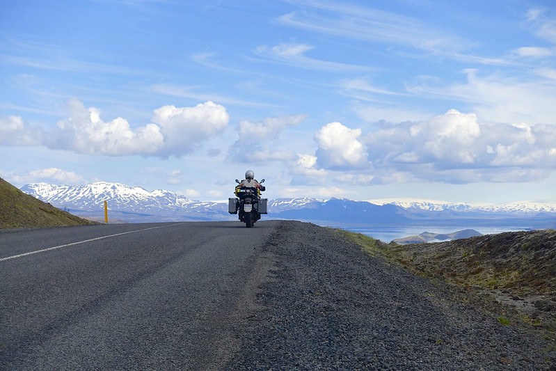
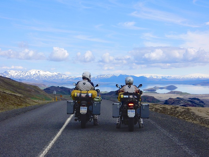
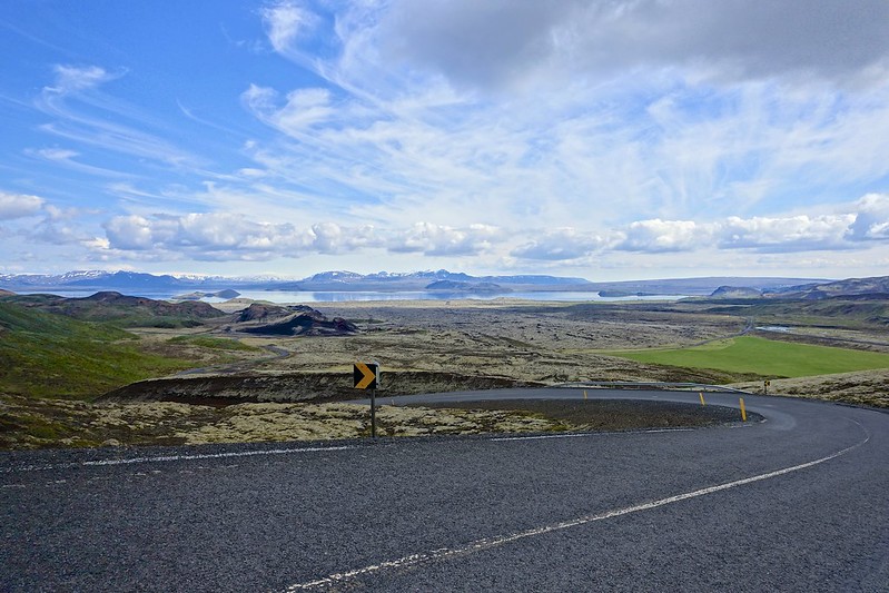
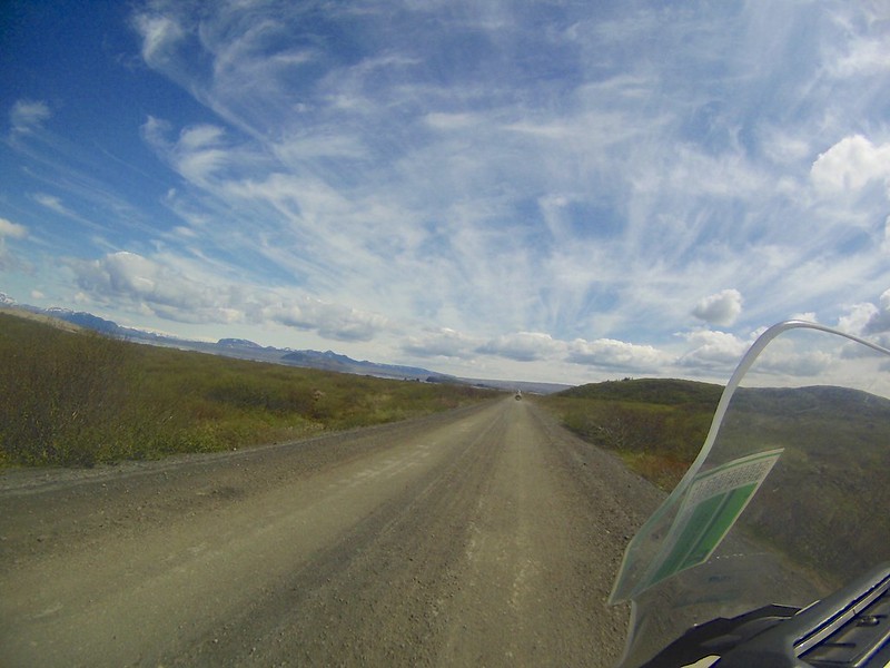
We did a 212 km route off road and on the secondary roads.
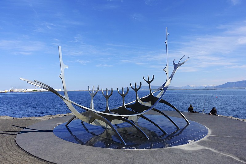
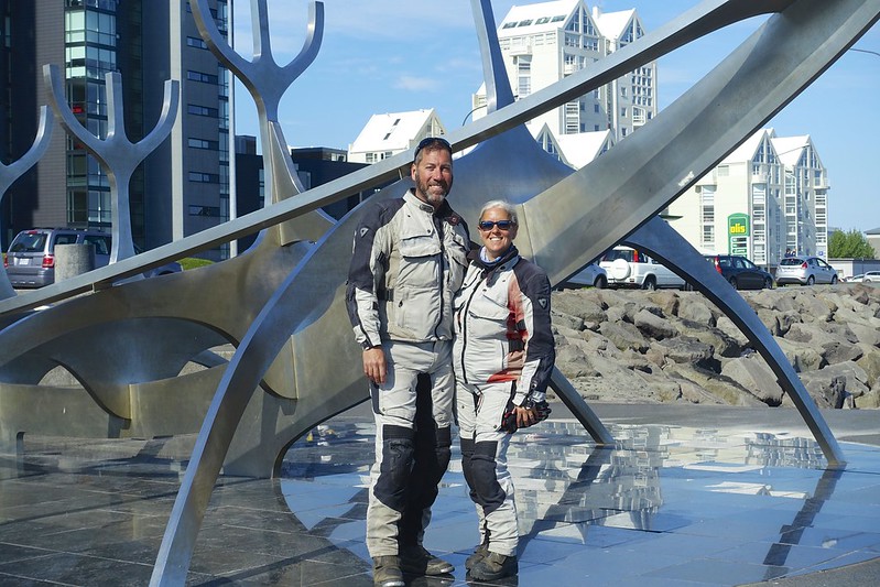
We started our tour in Reykjavik with a visit to the waterfront and then the Viking ship sculpture.
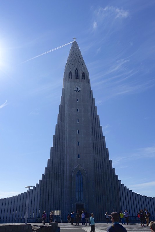
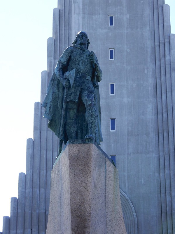
Driving into the city center the skyline is dominated by the huge tower of the Hallgrimskirkja church. It was designed to look like the forms and shapes that lava makes when it cools into basalt rock. The statue out front is of Leifur Eiriksson, who was the first European to discover America in 1000AD.

From here we decided to take the small dirt road and cut cross-country to skip the highway driving and head right to the main sights.
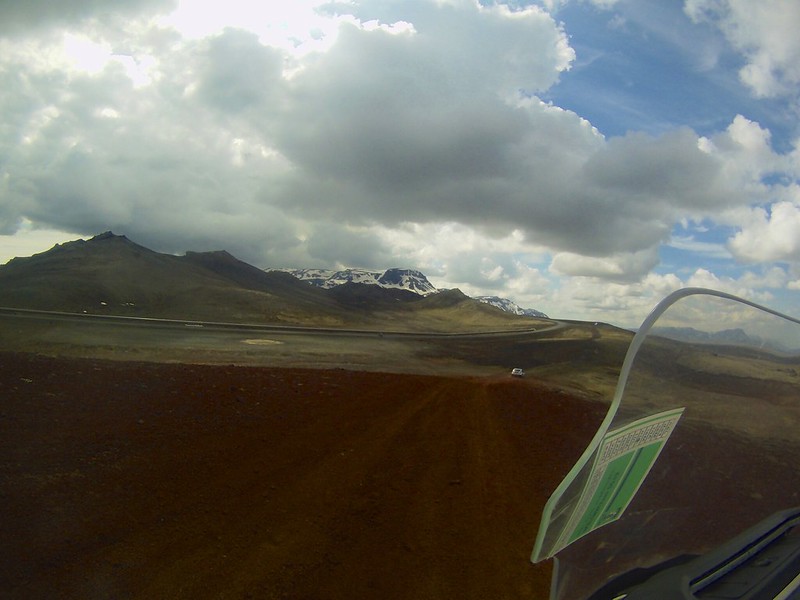

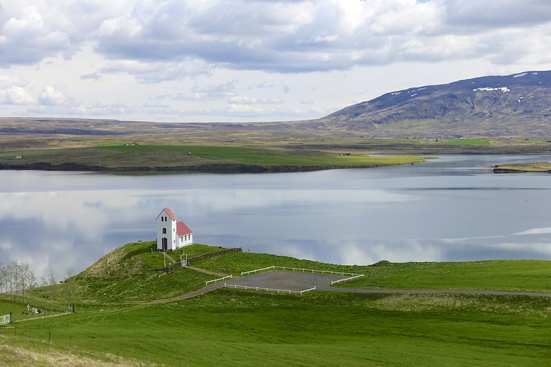
On the way we did have some incredible view across the lake to Thingvellir.
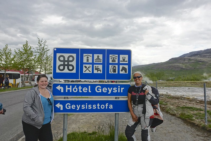
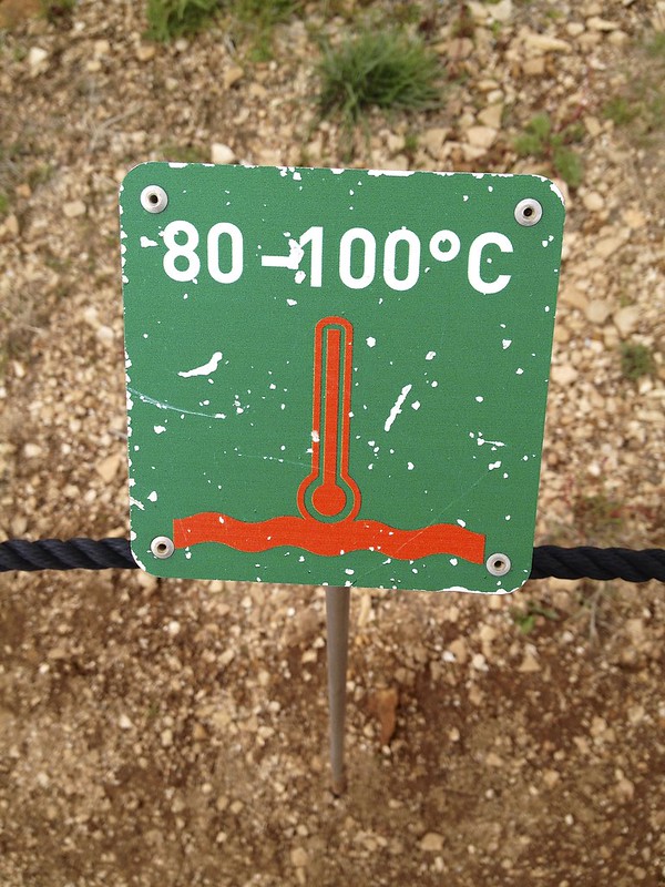
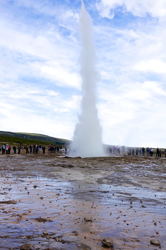
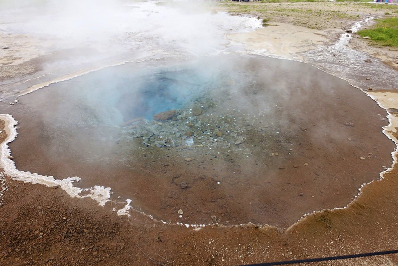
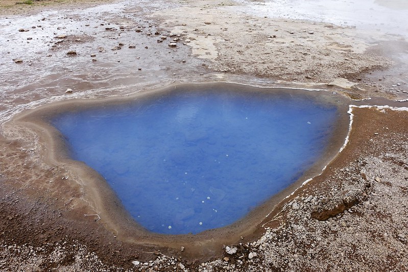
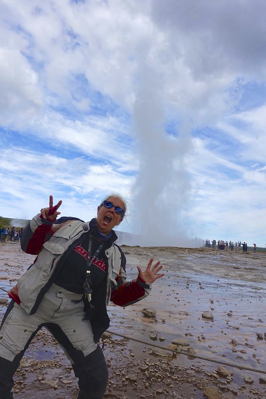
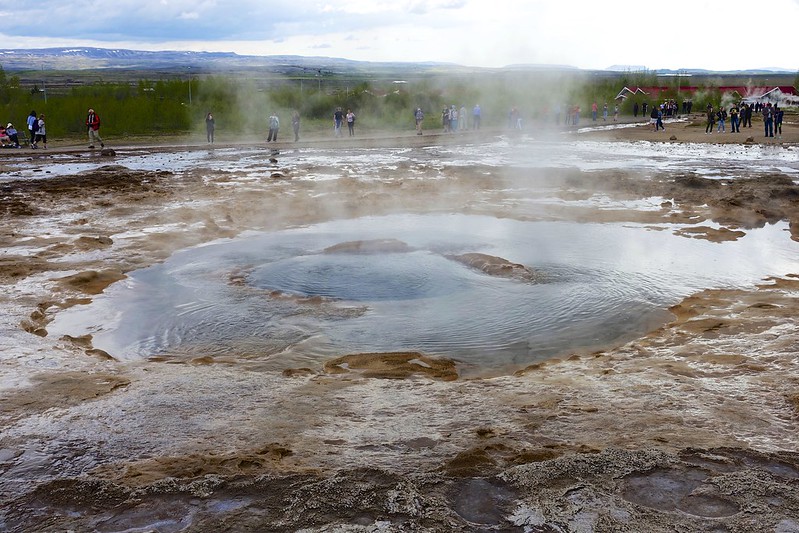
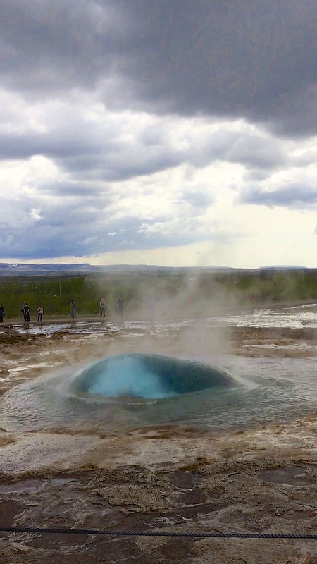
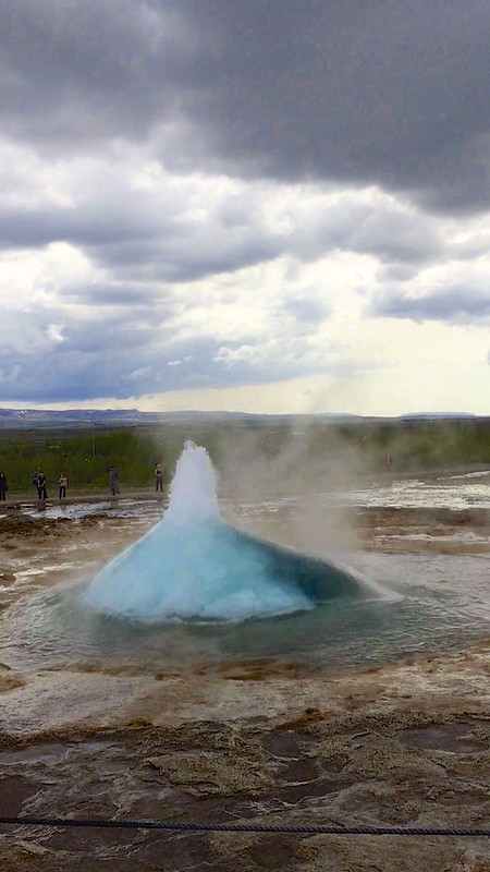
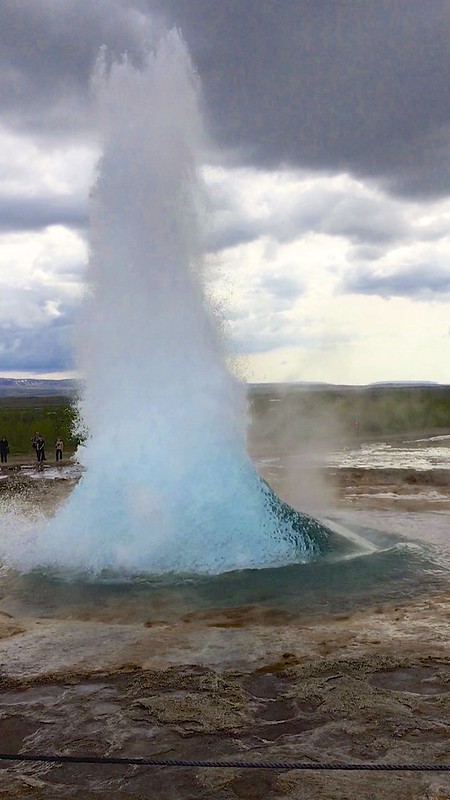
The first stop was at Geysir to see the hot water eruptions. The Great geyser was dormant before an 1896 earthquake and by 1910 was active about every 30 minutes this frequency declined over time and then only rarely. Since an earthquake in 2000 it became active again but by 2003 was only erupting about 3 times a day. The nearby Strokkur geyser erupts up to 30 meters every few minutes. It is very cool to stand there and watch the pool start to swirl and then splash over the sides. This increases in intensity until suddenly a large bubble appears followed by a huge plume of hot water.


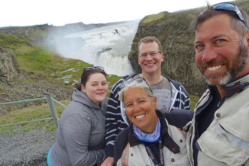
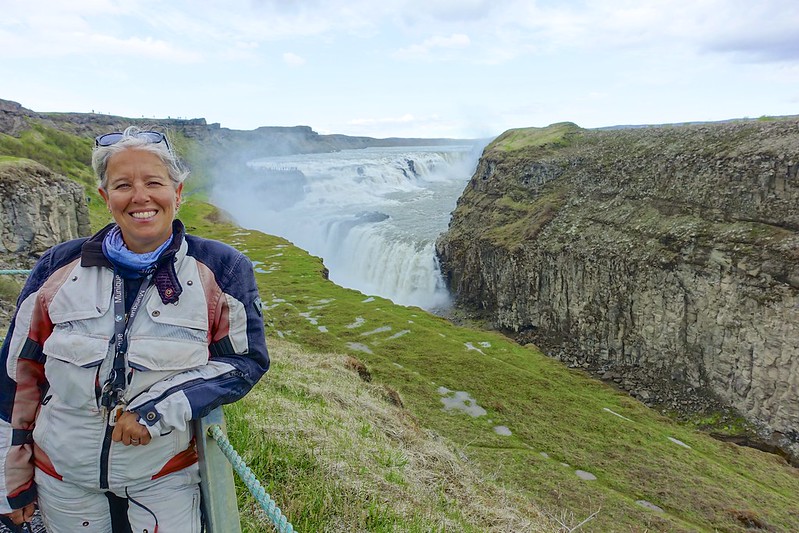
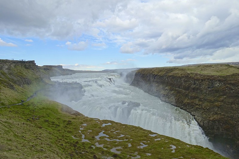
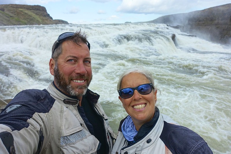
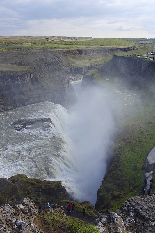
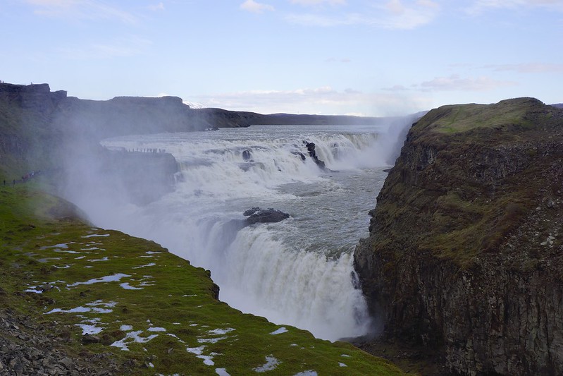
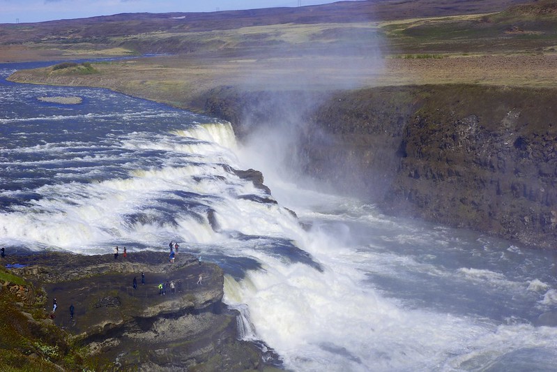
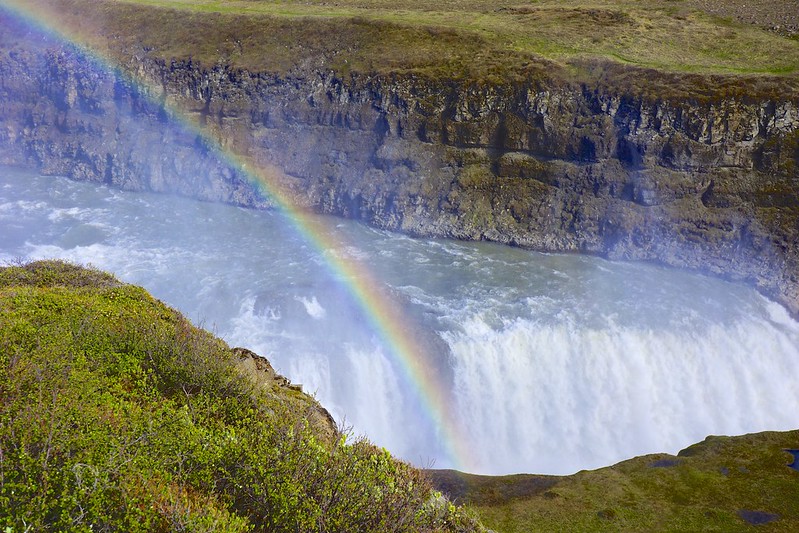
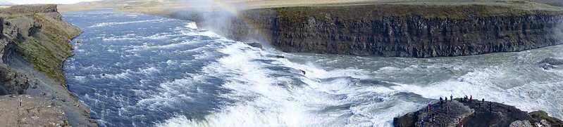
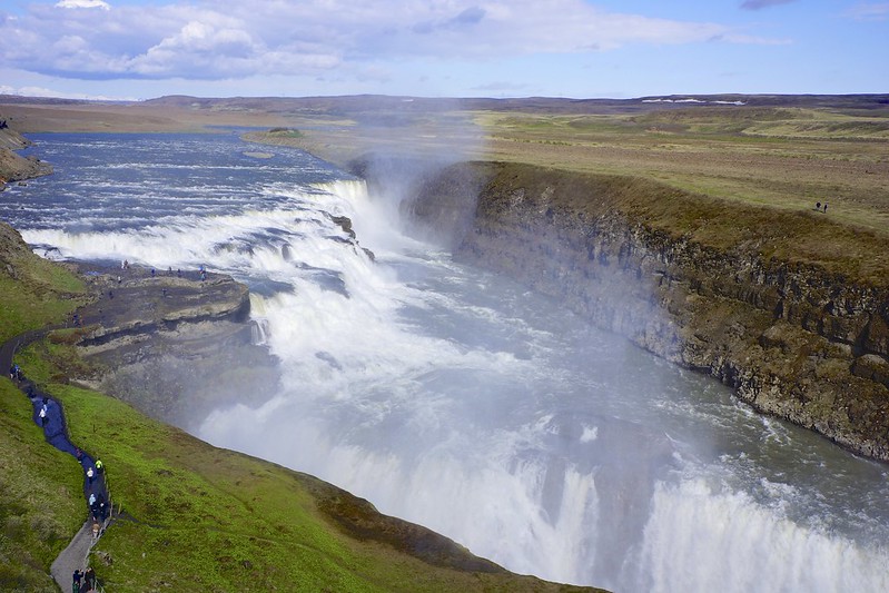
Next we rode over to Gullfoss, which is one of the most popular attractions on the island. The river makes a sharp turn and flows down a wide 3-tier staircase and then abruptly crashes into a 32-meter deep crevice. From a certain angle it looks like the river disappears into the earth. There was a lot of controversy here since the plan was to use the river to generate electricity. It was saved because of the failure of investors to raise the money and the land was sold to the state for protection.

We tried to make a circle route by heading further east to get one of the infamous “F” roads back, but arriving at the start of the dirt road we found it was blocked off due to snow! We backtracked a bit and headed to the campground at Thingvellir.

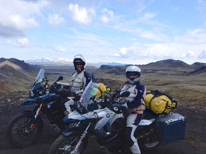
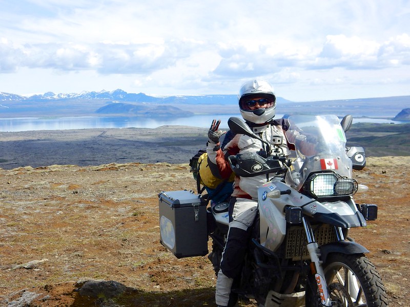
Here several other riders joined us. We had run into these 3 German guys several days in a row and so we felt it was time for a photo op.


Hi Sara Just looked at all your pics from iceland .
Cool!! Remember me from 2005. Helga Thordarson. Your adventure
Around the world looks like so much fun!! Cheers!
Helga
Hello Of course I remember you! I hope you are well.